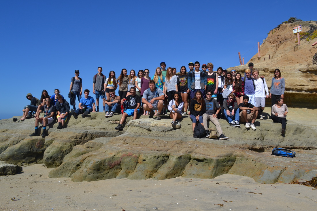
During the course of one week, I had been participating in the “Crest to Coast” hike through the San Dieguito Watershed. I hiked with my classmates and some of my family during the week and I had an amazing experience!
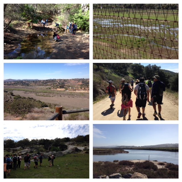
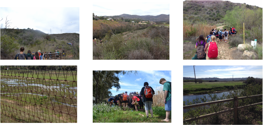
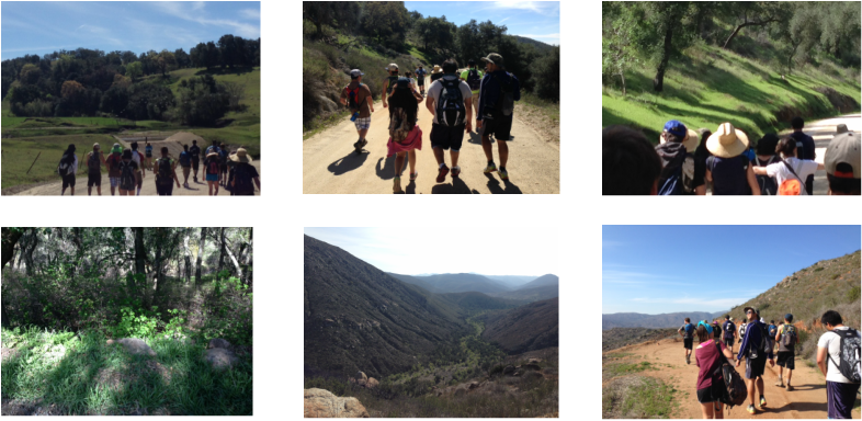
On the first day of the hike (March 3), I was very excited to start hiking the Watershed! On the first day, I started at Valley Center and the end point was at Del Dios Gorge. I hiked past Lake Hodges and it was amazing! I crossed along the side of a mountain looking down on an amazing view of the lake from a higher view point. We stopped for a short time to eat lunch and relax a little bit. There was a little bench to sit down for lunch. I had my hydration pack to rehydrate and I also packed myself a sandwich and a couple of energy bars to eat. After lunch, I passed by some more view of the water and also the side of a nearby dam. I felt a cool breeze that kept me from being hot too much. I also passed by informational signs about rattlesnakes as I went downhill. For the most of the hike, I was fine all the way to the end of the trail. One interesting thing I learned during this day was that most of the biomes along the trail were around water. For example, Riparian biomes were near water and most of the native animals lived near water like Least Bell’s Vireo. Overall, I had a good first day of hiking.
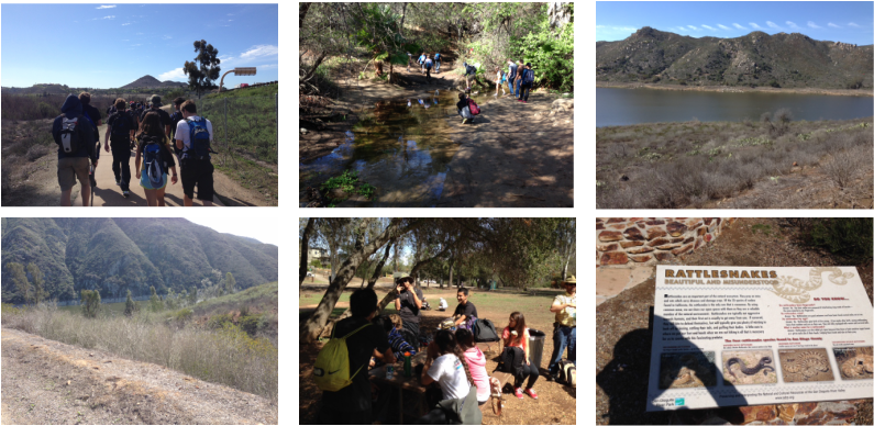
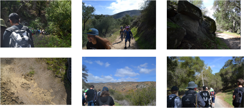
On the second day (March 4 from Del Dios Gorge to San Andres Drive), it was a little cold at the start. I was excited and ready for the second day of hiking! I started the hike at an uphill area that was a switchback. This part of the trail was familiar to me. The switchback made the climb upward easier. When I reached the top with my hiking group, I remembered that this part of the trail was called “Rattlesnake Viewpoint” because the trail was in the shape of a snake. As I continued to hike, I passed by some trees, landscape, rocks, and other things before I came up to a little water stream. Before I started the second day of the hike, my teacher told my hiking group to bring slippers or any footwear that we would not mind getting wet. I brought slippers, but I did not use them on the first stream because I was okay with wearing my hiking shoes. I also did not notice some mud in the middle of the ground after I crossed the stream. If I had seen the mud, my shoes would not have gotten dirty. Besides that, the rest of the first half of the hike and the start of the second half of the hike went well. When I got to the second water portion, crossing was a little tricky, but not too bad. Basically, I had to change into my slippers in order to keep my shoes dry. I had to find solid ground to keep my balance steady while I crossed the stream. I used the brush as support and made my way across without getting myself too wet. I also enjoyed the view of the Del Mar polo grounds and I knew I was at the end when I saw the Del Mar coastline. I enjoyed this day of the hike.
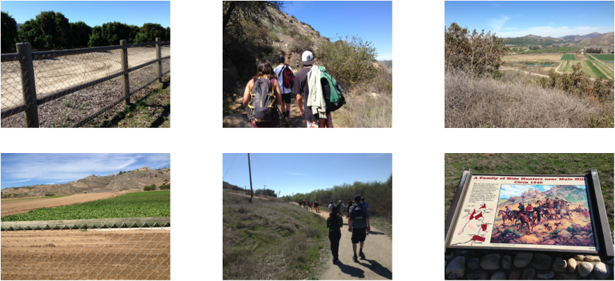
On the third day of the hike (March 5), I hiked from Bandy Canyon to Sikes Adobe Farmstead. The weather was a little hot. I definitely had to bring at least three liters of water in order to stay hydrated during the hike. It was sort of like a semi-desert environment. I saw organisms like Red Harvester Ants, which interact with heat. The entire trail was hot and there was very steep mountain, which I had to climb. It was definitely challenging, but I managed to survive. When I stopped for lunch, there were fantastic views of the landscape! I could see most of the trail and other parts of the area from where I was on the mountain! One thing I learned on this trail was that most of native organisms around Bandy Canyon and Sikes Adobe Farmstead interact with heat. For example, the Red Harvester Ants. The rest of the hike was thankfully, pretty easy.
On the fourth day (March 6), I hiked from Black Canyon Mountain to Upper Santa Ysabel Truck Trail. The trail was a little bit tedious, but I still did okay. As I got to the drop off area off Black Canyon road, one of my friends arrived around the same time. We started a little late because the drive to Black Canyon Road was longer than the first three days. One interesting thing that I learned from one of the rangers that joined my group was that animals used acorns for grinding things a long time ago. The first half of the hike was also interesting because I saw a lot of animals like turkeys, eagles, and cows. We were told not to interact with them. I saw one of the cows scratch its ear with its legs, which amused me. I saw some of the turkey cross along part of the trail as I continued to hike. The second part of the hike gave me some trouble. We had to take an alternate path down part of the trail. Unfortunately, part of that path had poison oak. The worse part about that was that some of my friends thought that they may have gotten poison oak! So, I had to stay alert and be careful. Fortunately, it turned out to be a false alarm and the rest of the hike was long, but not too hard.
Unfortunately, I wasn’t able to attend the fifth hiking day (March 7) because I came down with an unexpected cold. I felt sorry that I missed the bushwhacking day. Even though I wanted to go on that day, I thought to myself, “I should focus on recovering for the last two days rather than making things more difficult to me.” I heard a lot of my classmates got hurt because the trail had a lot of poison oak and boulders. One of my classmates injured one of her ankles and another of my classmates touched a lot of poison oak. I thought to myself, “I never expected that the bushwhacking day would be very intense to get through.” Traversing through a lot of boulders and poison oak would be pretty tough, especially if you are sick!
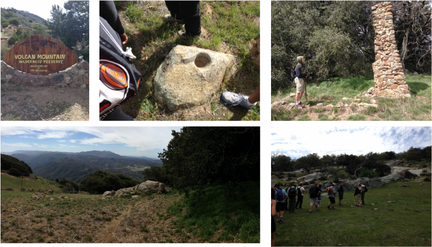
Fortunately, I was able to go on the sixth hiking day (March 11) (Volcan Mountain to Santa Ysabel East Open Space Reserve). I was feeling a little better, but I still felt a little sick. Most of the trail was going uphill and downhill. The first part of the trail felt a little long until I reached the top. I saw a lot of interesting things along the way Black Oak trees and an old kitchen site near the peak of Volcan Mountain. At one point, I felt a little nostalgic and thought that my group went in a circle, but it was a different part of the first half of the hike that looked similar to the part going uphill. During the second half of the hike, the views were cool, especially the site where I learned about old animal fossils and skeletons of dinosaurs. During both halves of the hike, I had a couple of instances during the day where I thought I was not going to be able to finish, but I still kept going to the very end.
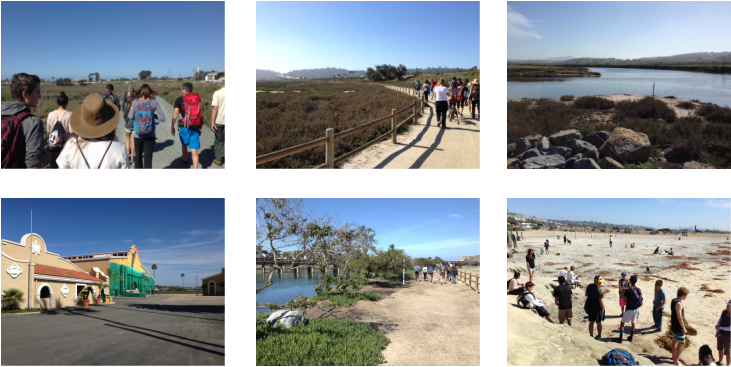
On the last day of the hike (March 12) (from Santa Andres Drive to Del Mar), it was a breeze, literally! There was a cool breeze as I hiked the last part of “Crest to Coast” hike. There was a point in the trail where part of the intended path was blocked off, but it was not that that bad to go around it. The last part was fairly short and pretty easy.
Overall, I enjoyed this hike and I was proud for myself, my family, and my classmates to completing the “Crest to Coast” trail. Even though I was under the weather after the fourth day, I still did a good job keeping up with the hiking group for the majority of the hike! This was a hiking experience that I will never forget.
 RSS Feed